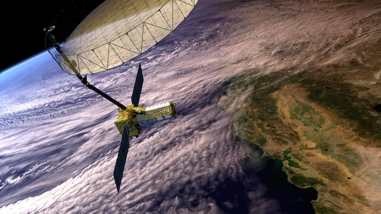
The NASA-ISRO NISAR satellite recorded the mountain moving weeks before the August 26 flood that killed at least 1,451 people in Nepal, but no one read the signal in time, according to a study by scientists at ISRO's National Remote Sensing Centre (NRSC), Hyderabad.
The paper, by 12 researchers and published in the Journal of Indian Society of Remote Sensing, is the first scientific account of the disaster in Rasuwa district, NDTV reported.
What The Satellite Saw
NISAR's L-band radar data from June 20 to August 19 showed an unstable, fast-moving zone exactly where the slope later failed, the study said.
Also Read | Layoffs Are Rising In Tech, But These Skills Are Helping People Unlock Better Pay
Between July 26 and August 19, the displacement grew larger and more coherent, with some pixels shifting more than five metres horizontally.
The researchers said the warning became obvious only when compared with post-disaster imagery. NISAR, which cost $1.3 billion and launched on July 30, 2025, sends data down about every 12 days.
How The Disaster Unfolded
Around 99 million cubic metres of glacier ice and permafrost rock broke off a hanging glacier north of Langtang Lirung peak, at about 5,130 metres, on the morning of August 26. The study compared the volume to about 115 Empire State Buildings.
ALSO READ | Nepal's $50 Million Plan To Drain Four Glacial Lakes After Deadly Floods
The debris fell roughly 2,170 metres in total and travelled about 5.9 km along the valley floor before turning into a flood. It hit a 72-km stretch of the Lhende Khola and Trishuli river systems, destroying roads, bridges, buildings and tunnels, including along the Nepal-China trade corridor.
A second landslide about three hours later created a debris-dammed lake.
Nepal's disaster authority put the toll at 1,451 dead and 5,745 missing as of September 21, according to figures cited in the study. The seismic signal recorded at 8:22 a.m.IST was the avalanche's impact, not its trigger, the paper said.
ALSO READ | Nepal Flash Flood Sweeps Away 40 Houses, Multiple Bridges; Hydropower Camp Damaged | Watch
Climate Link And Limits
The researchers said satellite data showed an exceptionally warm summer in 2026, which would have increased melt and weakened already stressed slopes.
They warned that such cascading hazards may become more common, pointing to the 2021 Chamoli disaster in Uttarakhand.
NASA's Jet Propulsion Laboratory told NDTV that NISAR data is freely available through the Alaska Satellite Facility and ISRO's Bhoonidhi portal.
The study said satellites can show which slopes are unstable but cannot predict when one will collapse. That, it said, needs ground monitoring stations, along with automated, near-real-time analysis of the Himalayas' more than 25,000 glaciers.
Essential Business Intelligence, Sharp Market Insights, Practical Personal Finance Advice, Daily Fuel, Gold and Silver Prices and Latest Stories — On NDTV Profit.