
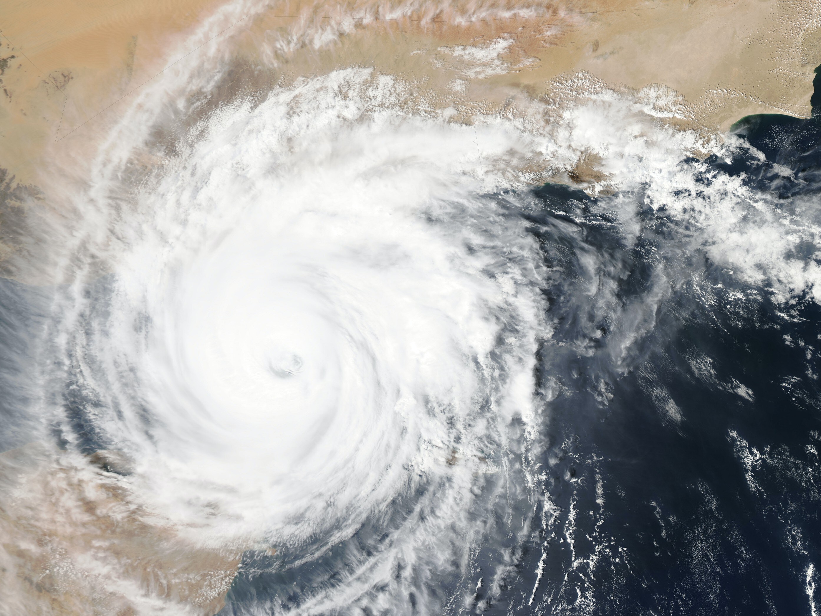
The depression over the Bay of Bengal on Saturday intensified into a deep depression and is likely to become a cyclone before crossing the Andhra Pradesh coast between Nellore and Machilipatnam on Monday, IMD said.
The India Meteorological Department (IMD) predicted heavy rainfall in Odisha on Monday and Tuesday under the influence of the system.
The depression moved west-northwestwards at a speed of 18 kmph and intensified into a deep depression. It lay centred around 500 km east-southeast of Puducherry, 510 km east-southeast of Chennai, 630 km southeast of Nellore and 710 km south-southeast of Machilipatnam at 5.30 am, the IMD said in its morning bulletin.
Also Read | Layoffs Are Rising In Tech, But These Skills Are Helping People Unlock Better Pay

-
 Indian Markets Turning Corner After Two Tough Years, Says Sandeep Tandon
-
 NDTV Profit Ignite 2026: Experts See Opportunity In Equities, Stay Bullish For Long-Term
-
 Buy Right, Sit Tight Does Not Work for Individual Stocks, Says Dinshaw Irani
-
 'Worst Is Behind': Quant MF Sees Market Bottom, Flags 'Extreme Euphoria' In Midcaps
-
 India's Mutual Fund Industry Could Become A $1 Trillion Opportunity, Say Fund Managers
-
 'Foreign Investors Are Baraatis': Raamdeo Agrawal's Take On LTCG Tax
-
 Stay Invested Through Market Cycles: Raamdeo Agrawal at NDTV Profit Ignite
-
 Ramesh Damani Remains Bullish On India For Next 20-30 Years, Sees Bargains Amid Market Weakness
-
 CAS Came After A Long Consultation Process: SEBI Chairman Tuhin Kanta Pandey AT NDTV PROFIT IGNITE
-
 Aim To Cut FPI Onboarding Time From Mth To Five Days: SEBI Chairman Tuhin Kanta Pandey AT NDTV PROFI
The IMD said the system is likely to move west-northwestwards and intensify into a cyclonic storm over southwest Bay of Bengal in the next 24 hours.
Thereafter, it would move northwestwards and reach westcentral Bay of Bengal off the south Andhra Pradesh and adjoining north Tamil Nadu coasts by Dec. 4.
"Thereafter, it would move nearly northwards almost parallel and close to the south Andhra Pradesh coast and cross it between Nellore and Machilipatnam on Dec. 5 as a cyclonic storm with a maximum sustained wind speed of 80-90 kmph, gusting to 100 kmph," the IMD said.
If the system intensifies into a cyclone, it will be called 'Michaung', a name suggested by Myanmar.
Under its influence, Odisha is likely to receive very heavy rain on Dec. 4 and 5, the IMD said, while issuing yellow (be updated) and orange (be prepared) warnings.
The national weather agency has predicted that squally weather conditions, with wind speeds reaching 35-45 kmph, are likely in the coastal districts of Gajapati, Ganjam, Puri and Jagatsinghpur on Dec. 5.
Meanwhile, the state special relief commissioner has put seven coastal districts -- Balasore, Bhadrak, Kendrapara, Jagatsinghpur, Puri, Khurda and Ganjam -- on alert in view of the possible cyclone brewing in the Bay of Bengal.
The IMD said sea conditions will be very rough and advised fishermen not to venture into the deep sea till further notice.
Essential Business Intelligence, Sharp Market Insights, Practical Personal Finance Advice, Daily Fuel, Gold and Silver Prices and Latest Stories — On NDTV Profit.